指導老師:林彥穎 Yen-Ying Lin
基地位置:龜山, 桃園 Guishan district, Taoyuan City
基地面積:130000m2
作品說明:
城市是什麼?
鄉村是什麼?
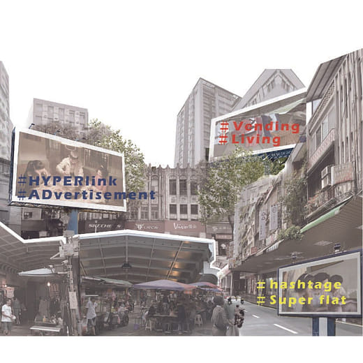
城市多樣性?
[尋找中介區域]
人們對城市空間與鄉村空間的認知已經固定,而兩者時常被用來區分一個地區的屬性。然而並不是所有區域都能用這二分法來區分,介於都市與鄉村兩者之間有許多無法定義為兩者之一的區域,而那些地區我們卻照樣植入既定的都市規劃方式。
[變動的夾縫城市]
在城市快速擴張之下,都市與都市的邊界逐漸交疊,疊合的區域由線性通道連通兩都市擴張成一個連結兩城市的區域,形成類衛星城市。
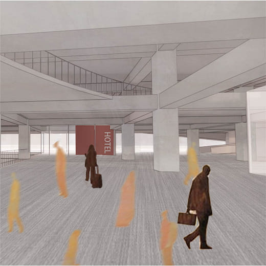
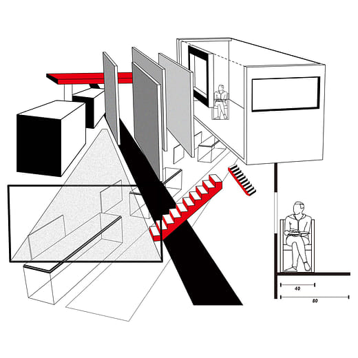
[垂直城市]
台灣的現況中,城市外圍的擴張潛力區域大多為丘陵地形,但已知的城市規劃方式皆由平面xy軸去劃分,因此試圖翻轉平面,由剖面z軸作為規劃空間基準。
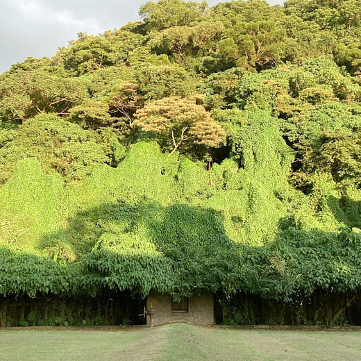
高山與低谷之間
都市與都市之間
城市與鄉村之間
道路與道路之間
自然與人為之間
在城市的夾縫中尋找新的城市多樣性
What is urban?
What is rural area? Urban diversity?
[Finding an intermediary area]
Our cognition of urban space and rural space are static, and the two are often used to distinguish the attributes of a region. However, not all regions can be distinguished by this dichotomy. Between urban and rural areas, there are many regions that cannot be defined as one of two, but we still implement the established urban planning methods in those areas.
[A changing city]
Due to the situation of rapid urban sprawl, the boundaries between cities gradually overlapped. The overlapping area transforms from a linear channel into an area connecting the two cities, forming a quasi-satellite city.
[Vertical city]
In Taiwan's current situation, most of the expansion potential areas are hilly terrain, but the known urban planning methods are all divided by the plane xy axis. Therefore, it is attempted to flip the plane and use the section z axis as the planning space reference.
between mountains and valleys
between city and city
between urban and non-urban
between road and road
between nature and man-made
Finding the new type of urban in between the cities.